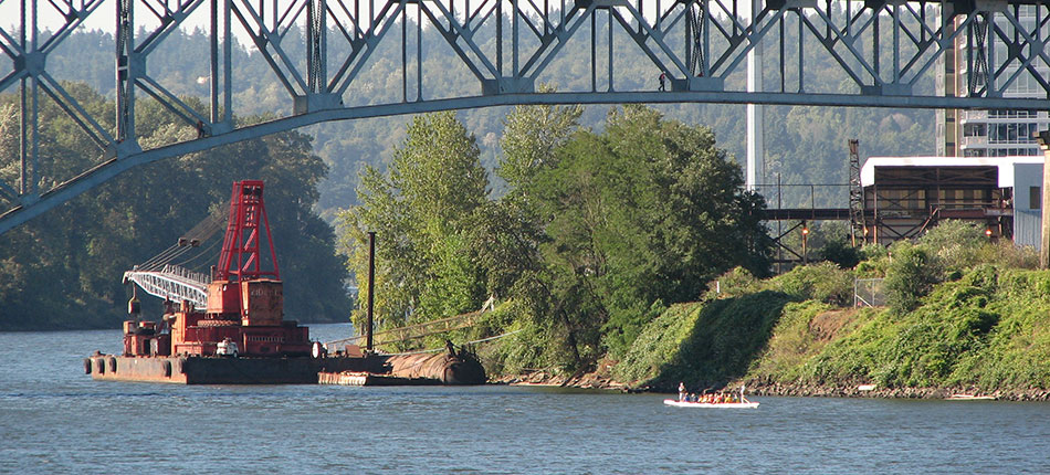
News flash – Portland gets a lot of rain. The soggy climate in the Northwest makes for some picturesque landscapes, but the combination of all that rain and decades of development have altered the natural environment and produced polluted storm runoff. The Rose City, planted amongst a bevy of streams and wetlands, has five urban watersheds and the City decided to determine a way to measure their health. That’s where the City’s Bureau of Environmental Services (BES) comes in. As the steward for stormwater management, water quality and fish recovery in Portland, BES is making targeted improvements to natural and built infrastructure, monitoring the complex aspects of watershed health and wants to keep the public informed of the progress being made.
A watershed, if you’re not sure, is an area of land that separates water flowing to different rivers, basins, lakes, estuaries, seas, oceans... So how do you measure a watershed’s health, especially in a city? Start with lots and lots of data. Monitoring everything from water temperature to wildlife habitat, BES wanted to find a way to wrap up all this information into a format that would be simple enough for the public to grasp, but still provide the detail desired by academics and water-savvy audiences. EnviroIssues researched watershed reporting tools used by agencies across the US and Canada – who were all more than willing to talk shop with us – and gathered lessons learned and best practices into a report that would inform the development of a watershed health communication strategy. We also facilitated several meetings with BES staff to help decide which strategy would work best for Portland.
Once a strategy was decided upon, we provided creative support in the development of watershed report cards and proposed changes to BES’s existing website to make watershed health information easy to find and digest. The result was a balanced approach to communicating fundamental concepts and the current state of watershed health.